Remote setup
- License file and microSD configuration in one remote session
- App, converter and onboard software ready to use
- A test scan together before we finish
A compact SLAM scanner for architects, surveyors and construction teams. Livox Mid-360, NanoPi Zero 2, four 3D-printed parts. Assembly takes 5–10 minutes.
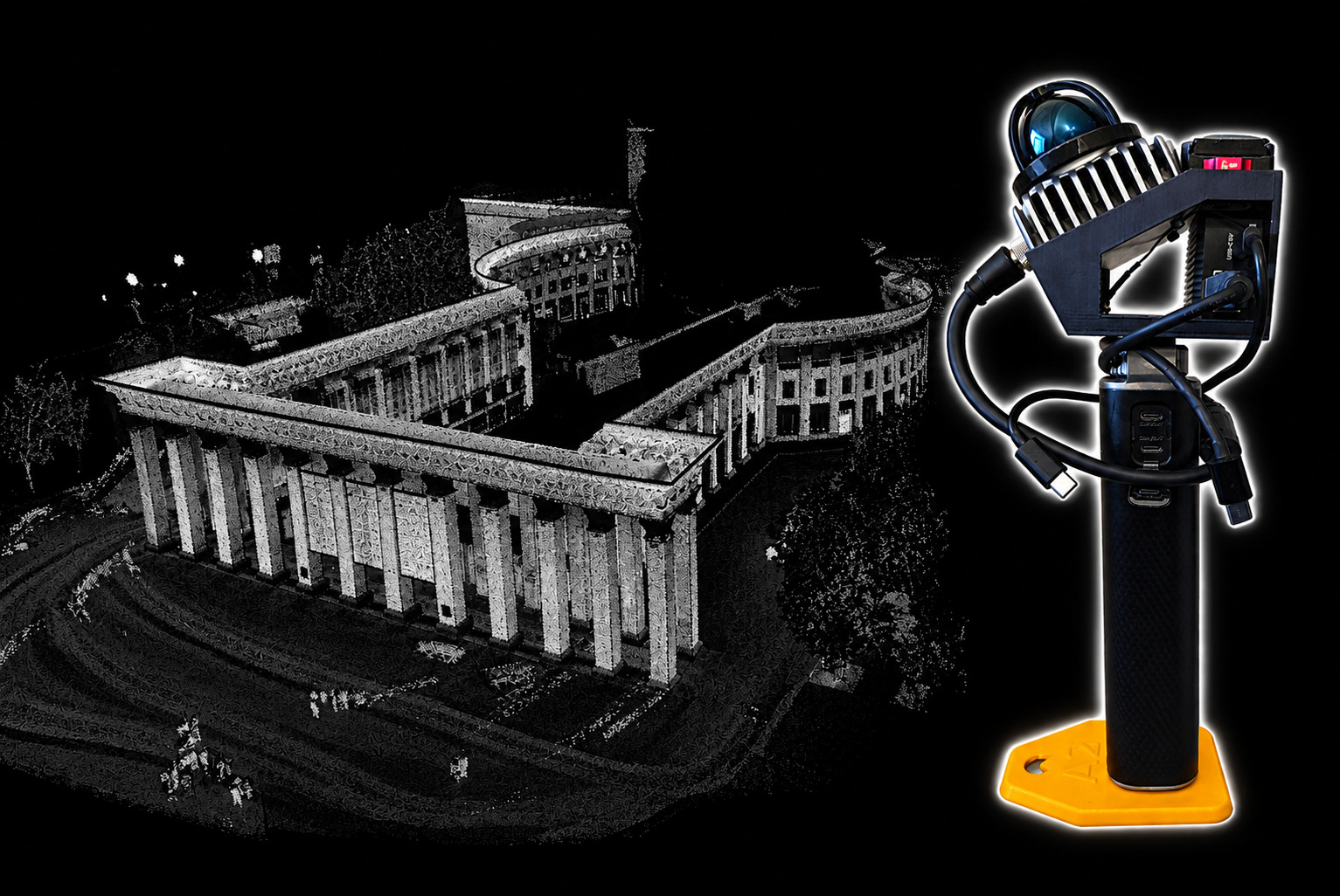
A LiDAR, a single-board computer, a powerbank, a microSD card, a few screws and four printed parts. Only a screwdriver with M3 and M2.5 bits is needed.
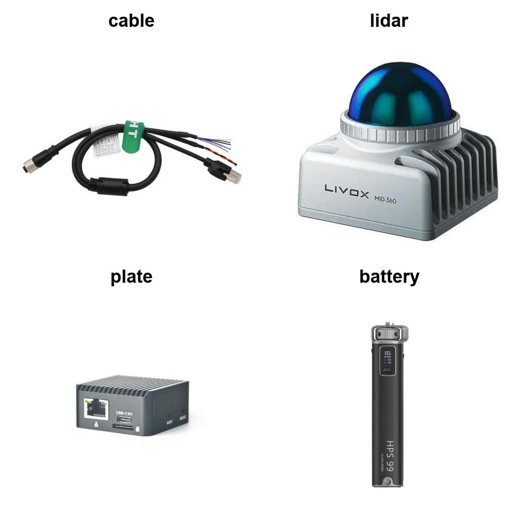
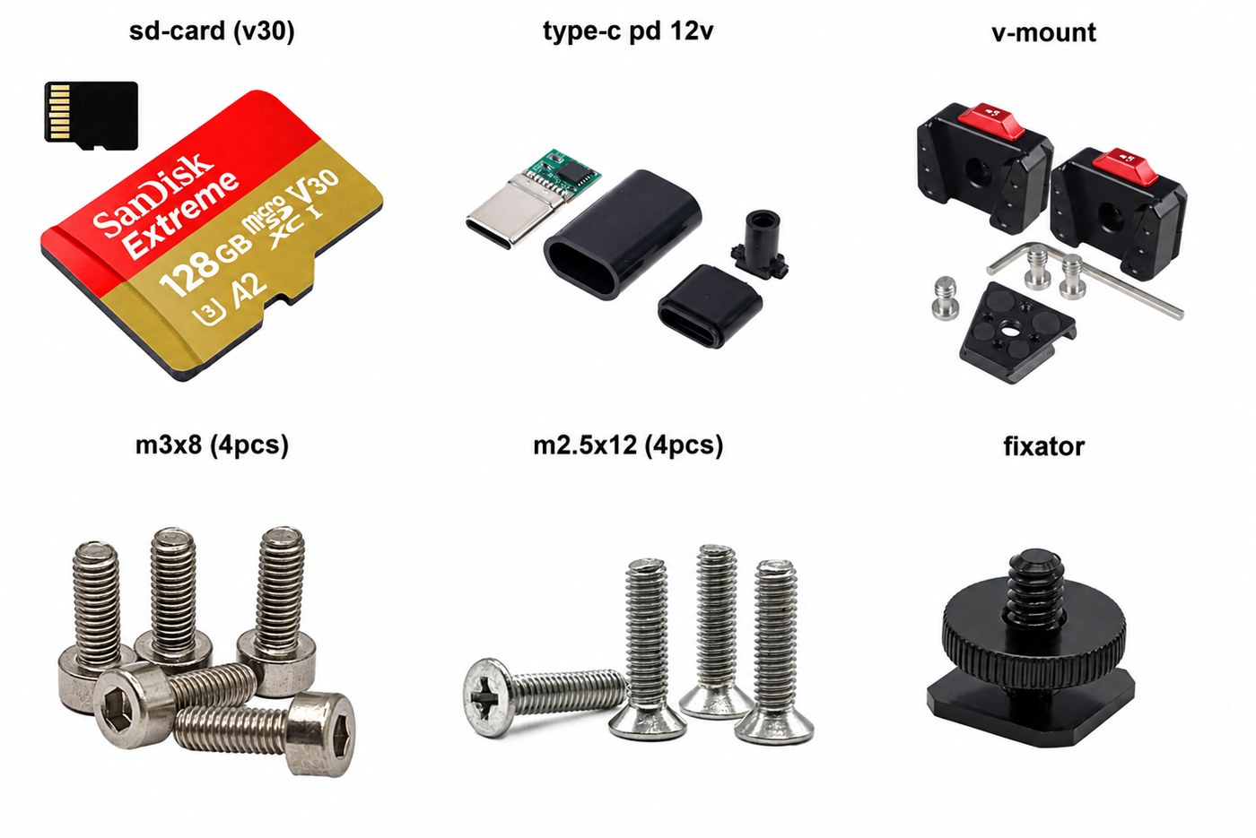
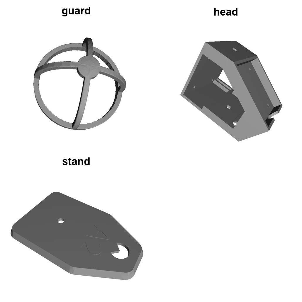
| Part | Notes |
|---|---|
| Livox Mid-360 | Main sensor. Mid-360S also supported |
| NanoPi Zero 2 | Wi-Fi module required, no eMMC needed |
| microSD card | 64 GB minimum, U3/V30 or faster |
| Powerbank | Two outputs: 10 W+ and 12/20 V PD. Tested: HPS99 |
| LiDAR cable | Rigid 0.5 m or flexible 0.2 m |
| USB-C PD trigger | 12 or 20 V, soldered to the power end |
| V-mount plate | Optional, for a panorama camera on top |
| M3×8 ×4 | LiDAR to body |
| M2.5×12 ×4 | NanoPi to body |
| Fixator 1/4" | Handle or tripod mount |
| Printed parts | head, guard, stand, cover · PLA or PETG · 0.2 mm · supports on body only |
Everything is hosted on GitHub. STL links open GitHub's 3D preview, where you can also download the file.
Four parts, PLA or PETG.
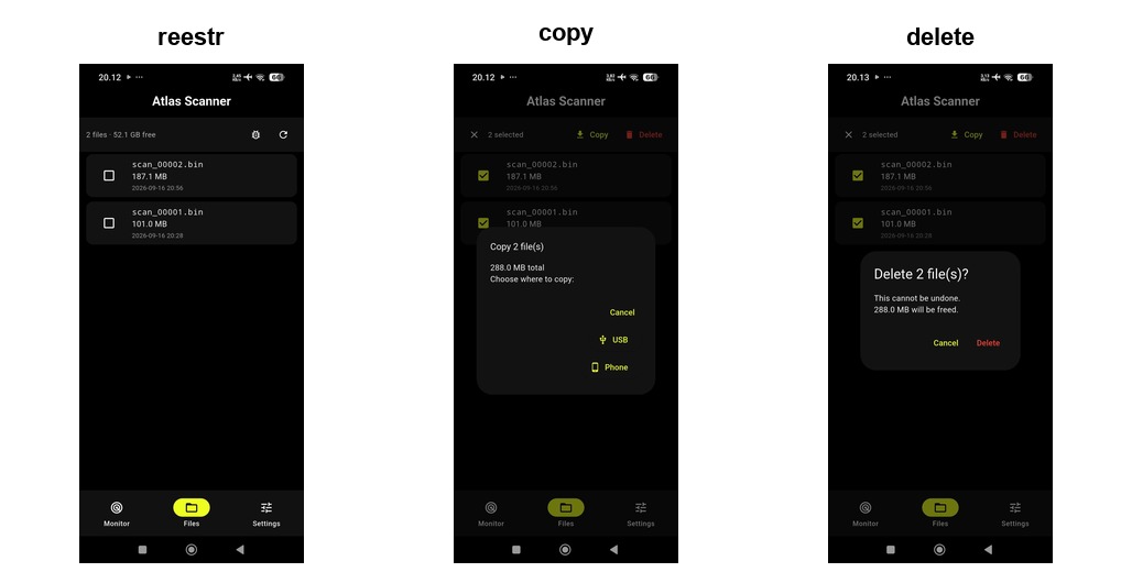
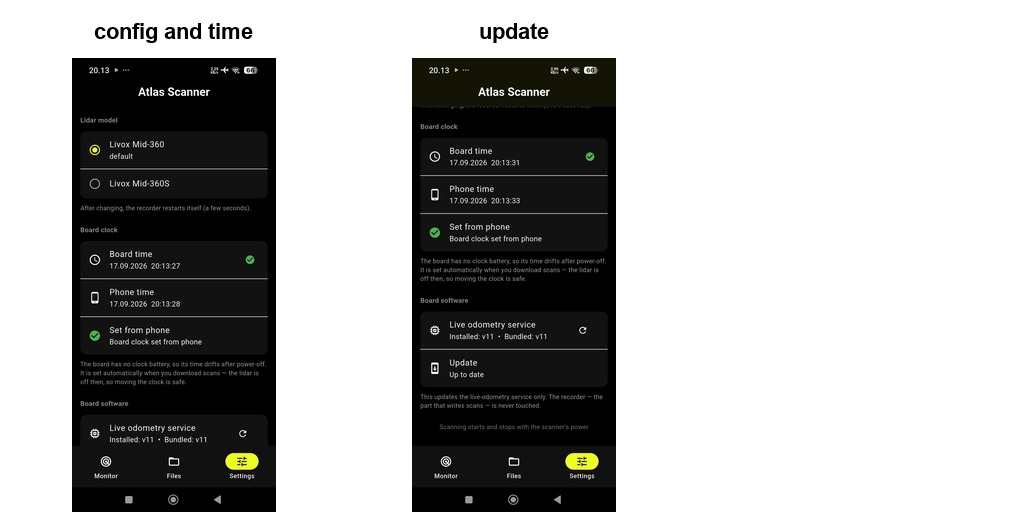
Live map, quality metrics, file transfer and onboard software updates.
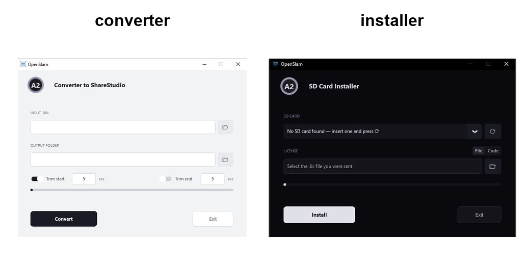
Converts .bin recordings in batches and trims start and end.
Flashes and configures the scanner's microSD card. Needs a license file from us.
Maintaining an older eMMC-based unit? The previous app and converter are in the legacy release.
The phone connects to the scanner over its own Wi-Fi. While you scan, the app draws the plan-view cloud and your trajectory, shows four quality metrics and the recording time left.
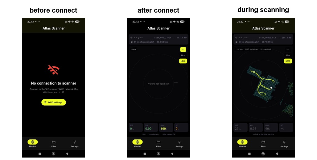
Connect the powerbank. Recording starts automatically.
Keep the scanner flat and still, then lift it slowly.
Follow the live map and the scanning tips in the app.
From the app, or just disconnect the power.
To a USB drive on the scanner, or straight to your phone.
Batch-convert the recordings on your PC and build the point cloud.
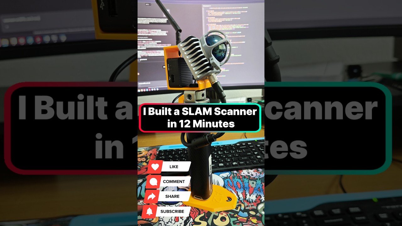
Short clips from our YouTube channel: assembly, a full scan, the app, and an accuracy test.
 ▶
Short
▶
Short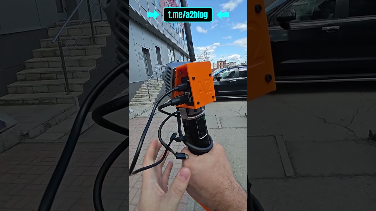 ▶
Short
▶
Short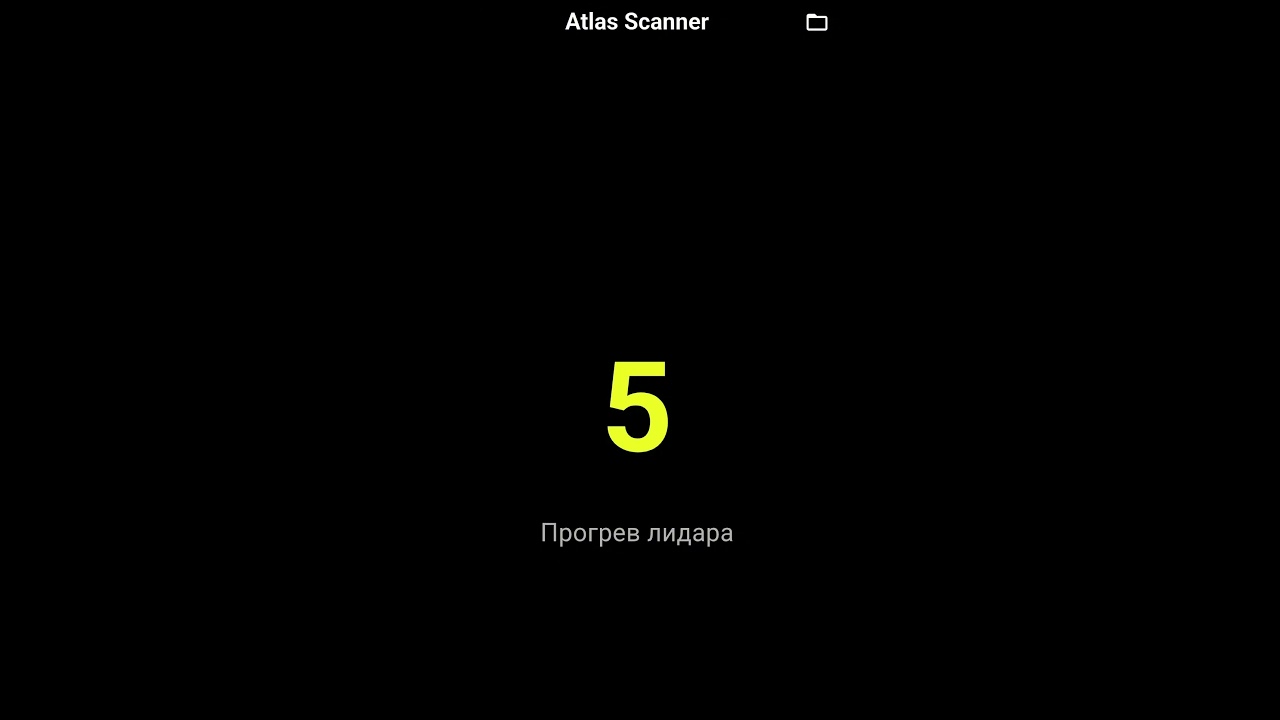 ▶
Short
▶
Short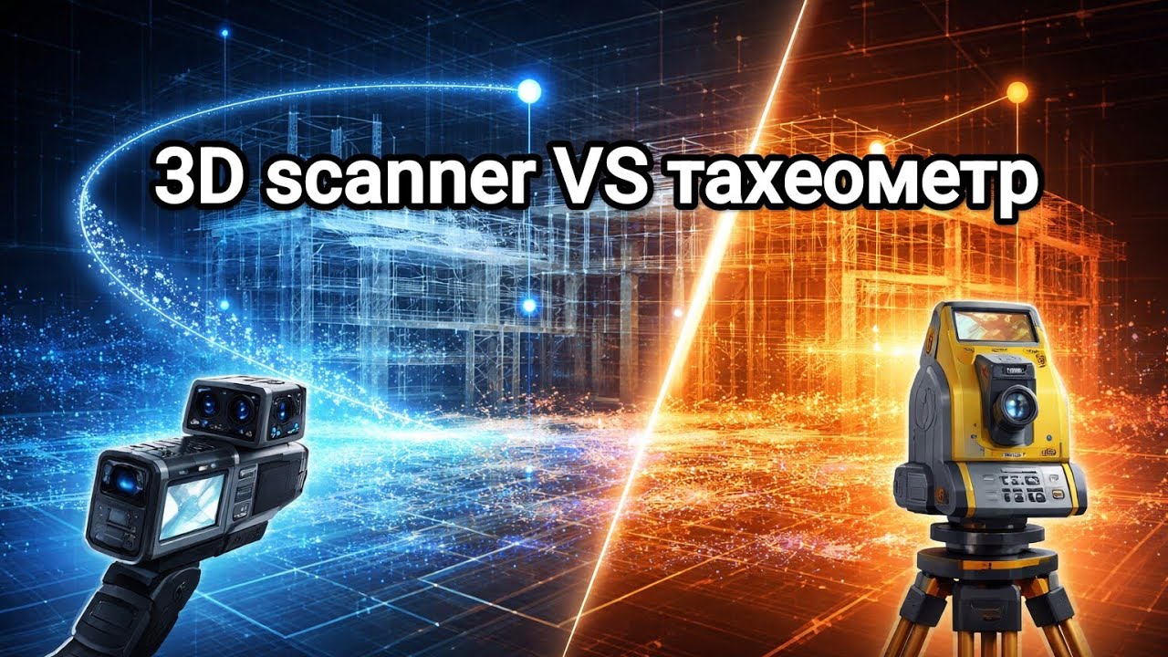 ▶
Video
▶
VideoMore on the channel: youtube.com/@a2-lab
We flash and configure your microSD card in a short remote session with the SD Card Installer. Put the card in the scanner and start scanning.
Run a YouTube channel, blog or community about scanning, surveying or robotics? Setup can be paid with a review or a feature of OpenSLAM.
Offer a collaborationSetup is a paid option. Terms are agreed individually: message us on Telegram at @Al_And_Leon.
Insta360 footage colors the point cloud and builds a walkable tour in the browser.
Open tour → AccuracyPoint cloud measurements compared with a total station survey.
Watch on YouTube → Open sourceBuild guide, STL files and tools under the MIT license.
View repository →| Feature | Status | What it gives you |
|---|---|---|
| Own SLAM engine | Coming soon | End-to-end in-house pipeline, from scan to point cloud |
| GNSS integration | In progress | Geo-referenced clouds in world coordinates |
| Ground control points | Planned | Correct drift between surveyed reference points |
| Cloud upload service | Planned | Upload colored, panorama-tagged clouds from the field |
The hardware design and STL files are published under the MIT license. Remote software setup is a paid option.
You insert a microSD card into your PC and join a short remote session. We provide the license file and run the SD Card Installer. Then you put the card in the scanner and it is ready.
Yes, if you have an audience in scanning, surveying, construction tech or robotics. Message us on Telegram and tell us about your channel.
We compared OpenSLAM clouds with total station measurements on a real site. The comparison video is on our YouTube channel.
Yes. Mount an Insta360 camera on the optional V-mount plate. The pipeline colors the cloud from the 360° footage and builds a panoramic tour.
Yes. Setup and support are remote, so your location does not matter.
Tell us which LiDAR model you have. We reply on Telegram and schedule the session.